News
Our stories ... ...
Indonesia - 04 September, 2018
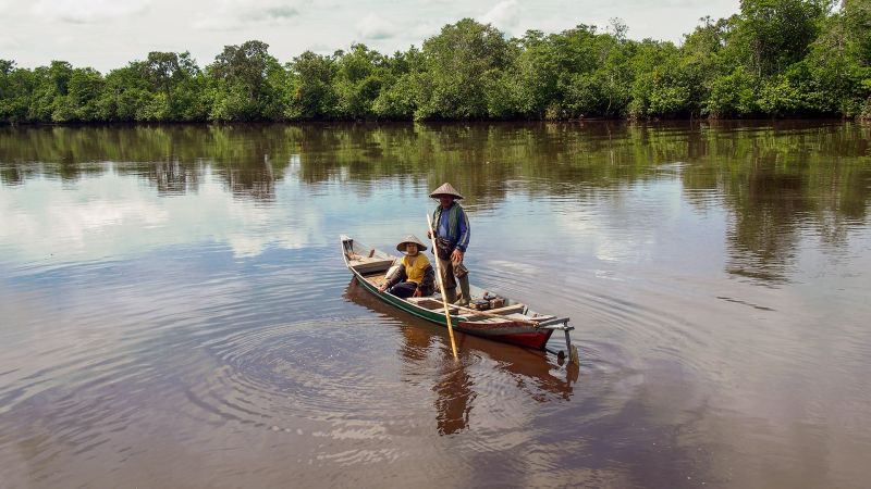
In 2017, Tropenbos Indonesia conducted training in participatory mapping (PM) and participatory conservation planning (PCP) in the villages of Laman Satong and Pangkalan Jihing. Both methods were enthusiastically embraced by the communities. They used PM to establish clear village boundaries. Consensus on boundaries will help to avoid encroachment on nearby national park areas and protection forests and will reduce conflicts between neighbouring communities. PCP was used to develop a database of land-use types — such as rubber, oil palm and other agro-commodities — and to identify the potential of various natural resources for creating more sustainable livelihoods.
The exercises revealed that all land that is not oil palm plantation or national park is classified as forest land, which means it cannot be used for livelihood development. Representatives of Laman Satong village raised this issue at the National Tenure Conference in Jakarta, where officials took it to heart. In response to the needs of the villagers, Laman Satong has since become a pilot area for agrarian reform and social forestry. Both the district and provincial planning agencies have taken into account the villagers’ views regarding access to natural resources and their development priorities in their spatial planning processes.
Published in the Annual Report 2017